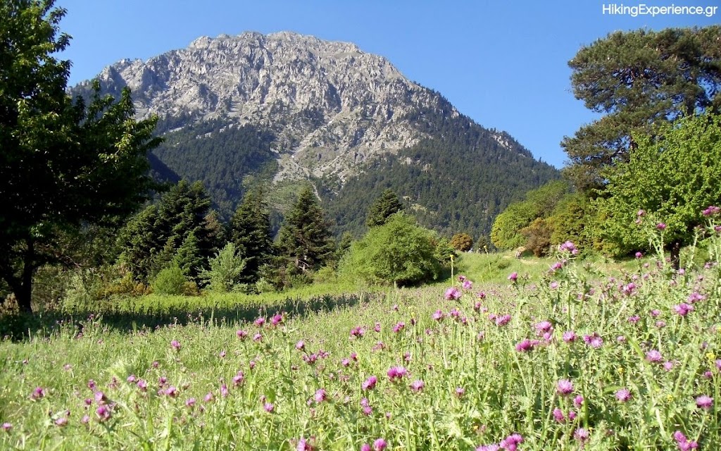
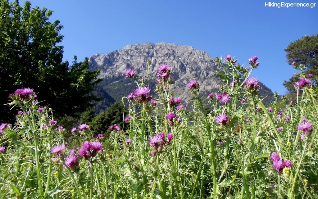
Springtime Hiking at Mount Dourdouvana

Dourdouvana Mountain
Dourdouvana lies at the end of Aroania mountains (Chelmos) in mountainous Corinthia, Peloponnese. It is a slavic name which means rose (or Triantafyllia in Greek), while its ancient Greek name is Penteleia. It is situated NE of Chelmos and it has two almost equally high peaks: Triantafyllia (2,109 m-6,919 ft) and Dourdouvana (2,078 m-6,817 ft).
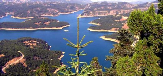
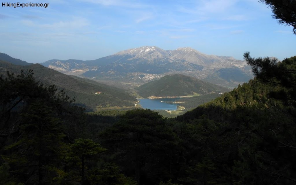
The path to the summits of Dourdouvana starts on the west side of the artificial Lake Doxa, the “emerald” of mountainous Corinthia, which is situated at an altitude of 900 m (2,953 ft).

The artificial Lake Doxa
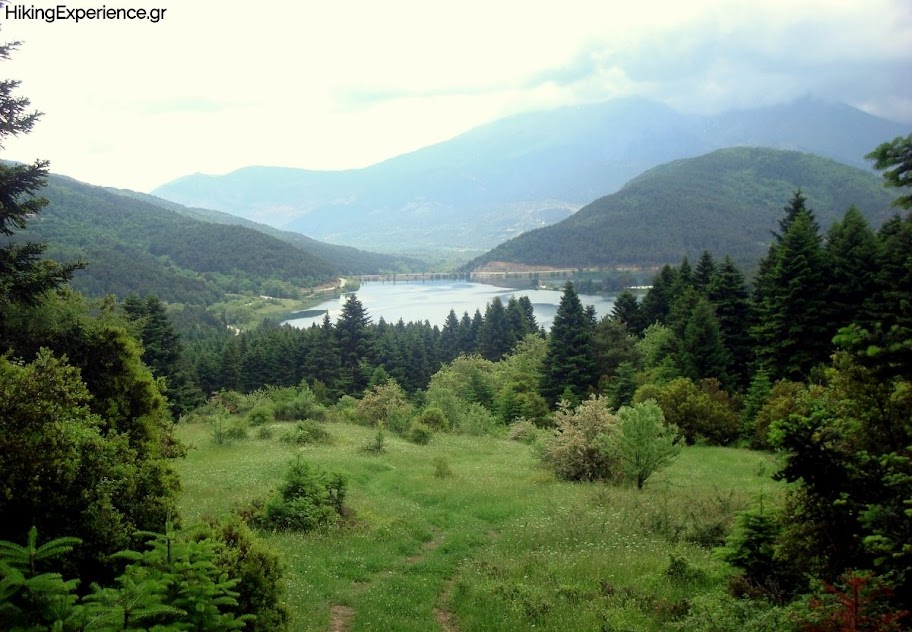
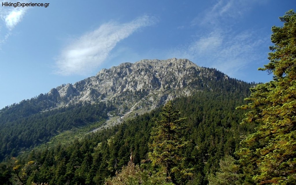
At first we follow the dirt road and then ascent via a firs slope, along a well signed path, having an impressive view of the emerald lake below us (direction S-SW).

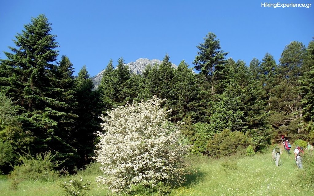
At the beginning of the trail

The emerald Lake Doxa from above

At “Kynigos” (Hunter) Col

At “Kynigos” (Hunter) Col. View towards the summits.
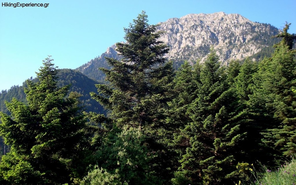
The trail passes the “Kynigos” (Hunter) Col at an altitude of 1,550 m (5,085 ft), that connects Dourdouvana to Chelmos. To reach the summits we enter the forest to our left and follow the signs. Τhe trail turns South, the vegetation starts to dilute, while the inclination increases gradually. It is the most painful part of the route, but the spectacular view of Chelmos mountain range is a real balsam.

View towards Mount Chelmos

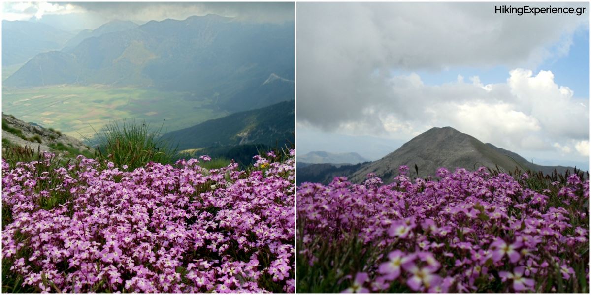
Triantafyllia peak (2,109 m-6,919 ft)

Feneos plateau from Triantafyllia peak

Lake Doxa from Dourdouvana peak (2,078 m-6,817 ft)

Lake Doxa from Dourdouvana
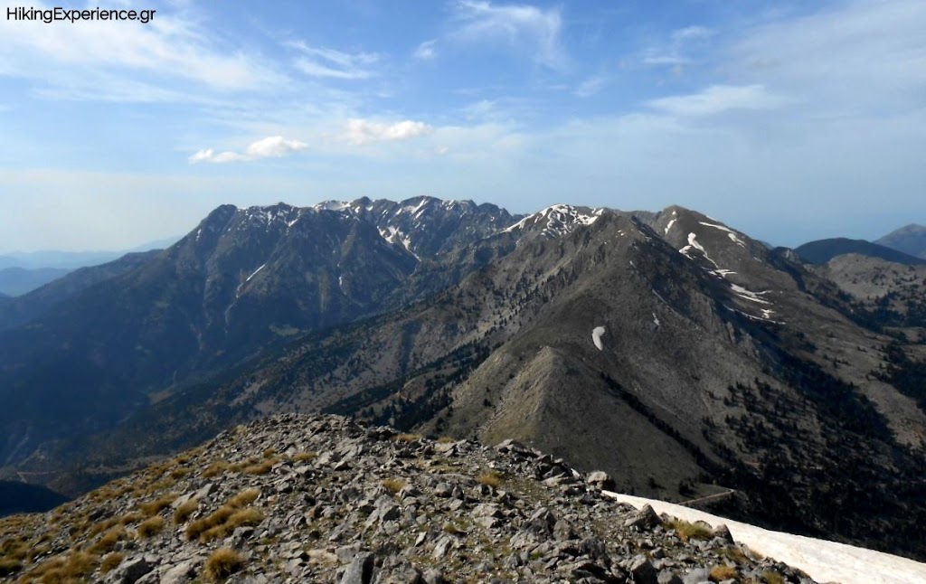
Panoramic view of Chelmos mountain range
When there is snow the path can be dangerous due to the inclination. Also it is easy to miss the signs. From the peaks of Dourdouvana we have a panoramic view to all the mountains of Northern and Central Peloponnese.
Map of the Trail