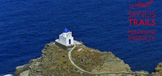
Grevena-Kozani Geopark

Can a hiking trip turn into a time travel to the Center of the Earth? Without romance and fantasy, i clearly tell you, yes it can.
So many years of hiking at the mountains of Greece, so many experiences, so many images. And yet, every single time i find myself surprised.
Nature and mountains never cease to amaze us. We let dystopian everyday life keep us away from them. Away from those small and big miracles that happen every minute of the day. Away from life. Because life is a miracle.
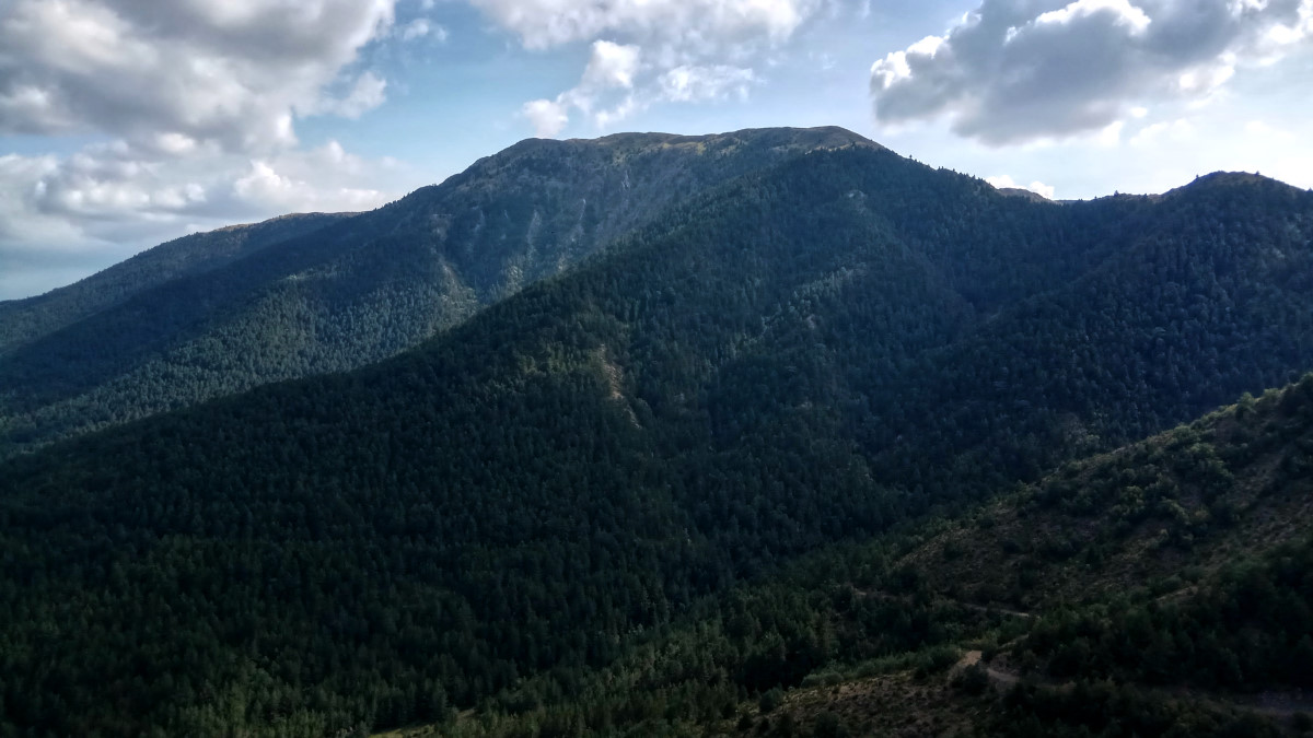
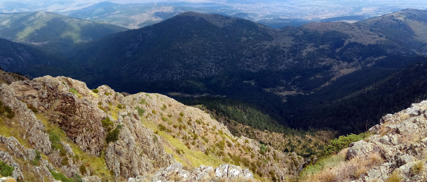
In the heart of Western Macedonia, Greece, on the border between Kozani and Grevena prefectures, lies Vourinos mountains, at an altitude of 1,866 meters. It is a small mountain with enormous specificity.
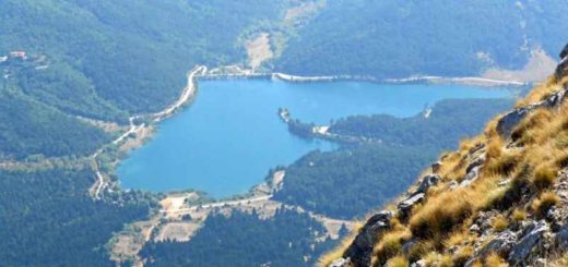
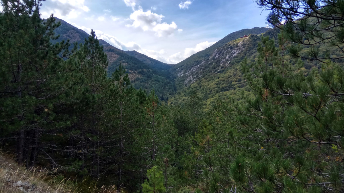
It consists of two parallel elongated mountains which are separated by the valley of “Mesiano Nero” (“Middle Water”).

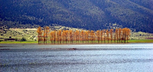
The mountain has special volcanic rocks and flora. There are 15 endemic species in Greece and 8 endemic in the world.
The rare flora of the mountain, helped to develop a great biodiversity, which is located mainly in the valley of “Mesiano Nero”. Due to this biodiversity, Vourinos is part of the Natura 2000 network.
However, in the valley of “Mesiano Nero” extraordinary things happen. In this small part of the Greek land, scientists have found obvious signs of a collision of the tectonic plates of Europe and Africa.
To be precise, it is the only place in Greece and Europe where Earth’s mantle is revealed.
Welcome to Grevena-Kozani Geopark, candidate for inclusion in the UNESCO World Network of Geoparks, as it is one of the most primitive regions on the planet.

What is a Geopark?
A geopark is a unified area that advances the protection and use of geological heritage in a sustainable way, and promotes the economic well-being of the people who live there. There are global geoparks and national geoparks.
A UNESCO definition of global geopark is a unified area with a geological heritage of international significance.
Geoparks use that heritage to promote awareness of key issues facing society in the context of our dynamic planet.
Many geoparks promote awareness of geological hazards, including volcanoes, earthquakes and tsunamis and many help prepare disaster mitigation strategies with local communities.
Geoparks embody records of past climate changes and are indicators of current climate changes as well as demonstrating a “best practice” approach to using renewable energy and employing the best standards of “green tourism”.

Tourism industry promotion in geoparks, as a geographically sustainable and applicable tourism model, aims to sustain, and even enhance, the geographical character of a place.
Geoparks also inform about the sustainable use and need for natural resources, whether they are mined, quarried or harnessed from the surrounding environment while at the same time promoting respect for the environment and the integrity of the landscape.
Geoparks are not a legislative designation though the key heritage sites within a geopark are often protected under local, regional or national legislation.
Greece is in a particularly advantageous position, as five of its areas are already designated “UNESCO World Geoparks”. These are wonderful landscapes, with scientific value.
The 5 Greek geoparks on the UNESCO World Network of Geoparks are:
- The Lesvos Geopark
- The area of Psiloritis mountain in Crete
- The Vikos – Aoos National Park in Epirus
- The Helmos – Vouraikos National Park in the Peloponnese
- The area of Sitia in Crete
Grevena-Kozani Geopark
The Grevena-Kozani Geopark is in the process of evaluation for its inclusion in the European and Global Network of Geoparks supported by UNESCO.
In an area of 1,548 square kilometers you can follow step by step, with the help of science, the course of the tectonic plates, admire the relief landscapes created by the movement of these plates and enjoy the rare biodiversity of the area. It is home to the oldest rocks in Greece dated back almost a billion years.

Vourinos mountain and the surroundings contain the lost world of “Paggaia”. 237 million years ago all the continents were united in “Paggaia” and the sea of Tethys was the great central sea.
After a long geological evolution, Paggaia split to form Africa, Europe and the ancient Tethys Ocean.
The landscape is polished to a rare beauty by glaciation that created a highland of rugged mountains, catastrophic canyons and rock formations of strange shapes and mysterious figures.
This unique geologic and environmental setting is home to traditional villages where residents maintain time-honored folkways of the Greek countryside.
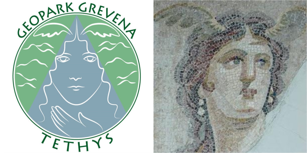
The figurehead of the geopark is Tethys herself, the Titan of Greek mythology who was mother to all the waters of the Earth.

The Collision of Tectonic Plates
~170 million years ago, the Tethyan Lithosphere, including Mount Vourinos, and the ancient European Tectonic Plate collided.
The scar of this collision follows the depths of “Mesiano Nero” valley and extends from Palaiokastro village in the north to Chromion village and Zavordas Monastery in the south.
The scars of this collision are seen in the rocks beneath our feet, deformed and crushed between these two immense tectonic plates. This is a geo-historic site where such a collision was first recognized by scientists.

The chemical difference in the rock types of Tethys (ultramafic peridotite) and Europe (schist and limestones) is apparent in the biodiversity across the valley: each tectonic plate lacks chemical elements that the other plate possesses.
When soils mix within the valley, they create a unique soil, immensely fertile and supportive of endemic plants and insects. Many of these species are found nowhere else on Earth.